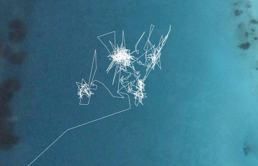
I am starting to look for a hardware developer/engineer who can design and build this in collaboration with me, and likewise the software needs to be simply developed and open source. Software is sound generation and processing, GPS data parsed to be useful for the sound, bluetooth, storage of data.
[ add comment ] ( 20 views )
Yolande Harris
artist in residence at Montevideo/ Netherlands Media Art Institute, Amsterdam
19/11/2007 - 19/02/2008
Navigations and locations, navigating through locations, locating my navigations, can you navigate?
I am witnessing a sensation of dislocation from my immediate environment by it's alternative representation in the data of position, the figures of longitude and latitude updated every second as I move. What place is there for my sensations, my phenomenology, my conscious and unconscious awareness of space if this knowledge is so efficiently and functionally made redundant by the technologies of satellite navigations?
Looking into historical techniques of navigation this split between environment and location, or location and position is already apparent, although a bridge was present in the direct observation of environment or sun whose data was then used in calculations. The technique called "sun run sun" to chart ones trace across an ocean requires taking three sextant sights on the sun, before during and after its highest point in the day. The data of the suns altitude at a specific time, the speed and direction of the boat through the water, the assumed (estimated) position, and the calculated adjustments from tabulated data, combine to give a location at noon to a variable accuracy.
In my mind, this time consuming technique that is so open to mistakes and so imprecise in its scale of accuracy, in short so much of another age in its priorities, is a perfect starting point to dream of the potential shifts occurring through new navigation techniques. Satellite navigation is being developed in a way that closes down the openness of direct observation and the possibility of mistakes, and the input of choice, intuition and improvisation. At the same time this satellite navigation does not need to be reduced to the mundane but could open us up to a possible consciousness of environment, a hybrid of locative intuition through technology..
This project will be an experiment in drifting, combining the accuracy of the grid with the intuition of movement. Electronic sound is the primary vehicle for exploring these open data worlds because its inherent abstraction refuses to be held down by the functional. Although it is made out of the information it receives from the satellites, this sonification allows us to observe the potentials of our floating extended locations. What is it to navigate? What is it to know I am here now?

[ add comment ] ( 19 views ) | related link

 Archives


